Have you ever wondered how buildings stay standing for decades, even in challenging environments? Or why do some structures fail unexpectedly while others remain solid through storms, floods, and time? What separates a safe, enduring structure from one that’s vulnerable to collapse?
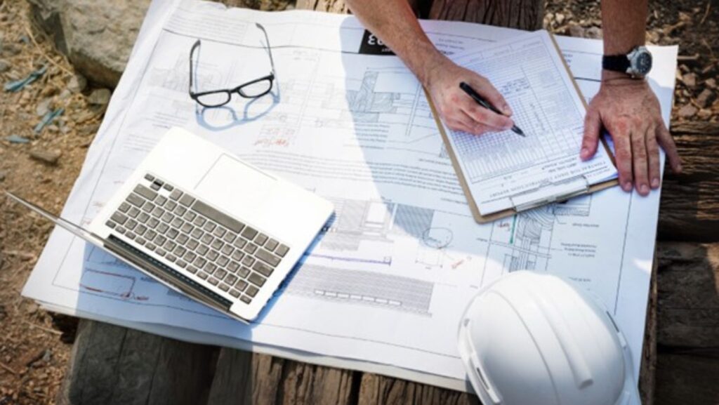
The answer often lies beneath the surface—in the unseen but critical site data gathered before construction ever begins. Land surveying, particularly in the early planning stages, plays a crucial role in determining the safety and longevity of any architectural project. Partnering with a skilled excavation contractor ensures that groundwork is handled professionally, minimizing risks right from the start.
According to a 2022 study by the American Society of Civil Engineers, over 35% of structural failures in the U.S. are related to issues in foundation or site conditions, many of which could have been prevented with proper surveying. With climate variability increasing the risks of soil movement and flooding, getting the ground data right has never been more critical.
Whether you’re a developer, architect, or civil engineer, investing in high-quality surveying is your first line of defense in building safely and smartly.
Understanding Structural Failure: The Risks Are Real
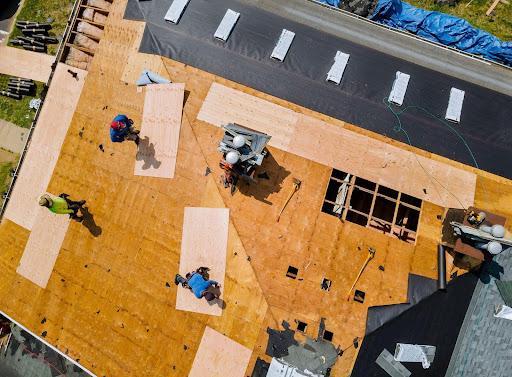
Structural failure refers to a loss of load-carrying capacity in a building or its components, which can result in anything from cracks and sagging to full-scale collapse. While it’s easy to blame design errors or subpar materials, many failures begin at the ground level, with undetected geotechnical problems, poor site selection, or inaccurate elevation mapping.
Failures of this nature are not only expensive—they’re dangerous. Residential homes, commercial buildings, schools, and bridges have all suffered tragic collapses due to foundation issues that could have been anticipated with better surveying.
The Surveyor’s Role in Site Safety
Before a shovel hits the ground, a land surveyor assesses and documents everything about a property’s physical condition and terrain. Key areas include:
- Topography and slope
- Subsurface soil composition
- Flood zones and water tables
- Legal boundaries and easements
- Location of existing utilities and underground structures
The data they provide helps engineers and architects design buildings that are safe, code-compliant, and suited to the land. In short, a surveyor’s work is the first step toward safety.
Key Ways Surveying Prevents Structural Failures

1. Identifying Unstable Soils and Ground Conditions
Soil is more than just dirt—it’s the foundation of every structure. If a building is constructed on unstable or expansive soil, it may experience shifting, cracking, or sinking over time. Site surveys, especially those accompanied by geotechnical reports, assess whether the soil type is suitable for construction or if it requires reinforcement or replacement.
2. Mapping Elevation and Slope
Elevation data is vital for managing structural loads and preventing erosion. A sloped site can create lateral pressures that push against a foundation, necessitating the use of retaining walls or specialized anchoring systems.
A 3D survey in Sydney, for instance, might uncover subtle elevation changes in a suburban lot that could affect stormwater runoff and load distribution—factors invisible to the naked eye but crucial to safety planning.
Topographic surveys ensure the design accounts for these shifts before construction starts, helping avoid costly redesigns or dangerous post-construction damage.
3. Assessing Flood Risk and Water Flow
In areas prone to rainfall or located near bodies of water, flooding is a serious structural threat. Even minor water infiltration can lead to foundation erosion, mold, or corrosion of steel supports.
Surveyors identify floodplains, historical water flow patterns, and seasonal shifts in the water table. This data empowers the design team to elevate the structure, build retaining systems, or incorporate adequate drainage—proactive steps that prevent chronic water damage or sudden collapse.
4. Locating Existing Infrastructure and Hazards
Unexpected underground features—like abandoned pipes, old foundations, or septic systems—can interfere with excavation and increase the risk of foundation instability. Surveyors equipped with ground-penetrating radar and subsurface mapping technology uncover these hazards before they cause problems.
Identifying these features early avoids surprise structural compromises, work stoppages, or emergency changes to the foundational design.
5. Ensuring Compliance with Building Codes and Zoning Laws
Surveying is also essential to regulatory compliance. Many municipalities require strict adherence to building codes based on the location’s seismic, hydrological, or soil risk. Building too close to a floodplain or ignoring slope requirements can lead to denied permits, halted projects, or worse—forced demolition.
Surveyors help ensure a project is safe and legally sound, reducing risk exposure for both developers and occupants.
Technology Enhancing Safety: The Rise of Precision Surveying
Modern surveying has evolved far beyond tape measures and theodolites. Today’s surveyors use tools like:
- LiDAR (Light Detection and Ranging) for high-resolution 3D mapping
- RTK GPS for centimeter-level precision
- Drones for rapid topographic scans
- Ground Penetrating Radar (GPR) for detecting buried hazards
These innovations enhance accuracy, speed, and coverage, enabling site planners to make data-driven decisions and simulate structural performance under various conditions.

With advanced 3D surveys available in areas like Sydney, surveyors can now deliver richer data with quicker turnaround times, drastically reducing risk and enhancing design confidence.
Case Study: Avoiding Collapse with Smart Surveying
A commercial office tower in western Sydney was once planned for a site deemed stable based on outdated records. However, a fresh survey revealed:
- The soil had a high clay content and was prone to expansion.
- The slope diverted stormwater toward the building site.
- A buried concrete foundation from a prior structure obstructed planned pilings.
Armed with this new data, the engineers redesigned the foundation with deeper piles and integrated a flood mitigation system. The result? A structurally sound building delivered on schedule, with zero safety incidents and lower long-term risk.
Surveying is not just a bureaucratic box to tick—it’s the cornerstone of structural safety. By capturing accurate, site-specific data on soil, elevation, water flow, and sub-surface conditions, surveying prevents design flaws, construction delays, and, most importantly, dangerous failures.
Whether you’re building a home, a skyscraper, or a public facility, let the data guide your safety plan.
Don’t leave structural integrity to chance—invest in a professional site survey and build on solid ground.